Custom Datasets 
Strategist provides detailed datasets of India. These datasets are derived from high resolution satellite imagery, enabling high positional accuracy. These have been georeferenced with DGPS traces of all national / state highways, district roads and major roads in top 100 cities. Therefore these datasets are ideal for any application involving GPS or requiring high positional accuracy.
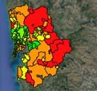
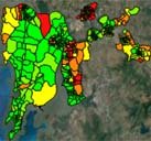
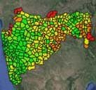
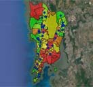
Strategist has also compiled socio economic data from different sources e.g. census 1991, 2001 and 2011, SECC data, quarterly bank credit/deposit, GDP numbers from pre-budget economic survey of different states. These datasets are used for enriching attribute information of map further. The maps can be used for extensive geo-analysis.
Datasets ▾
- 1. Administrative Boundaries
- State Boundaries (census data, asset ownership, prosperity index, population estimates 2021, per capita income estimates 2021)
- District Boundaries (census data, asset ownership, prosperity index, population estimates 2021, per capita income estimates 2021)
- Tehsil Boundaries (census data, asset ownership, prosperity index, population estimates 2021, per capita income estimates 2021)
- CD-Block Boundaries (census data, asset ownership, prosperity index)
- Town Boundaries (census data, asset ownership, prosperity index, population estimates 2021, per capita income estimates 2021)
- Village Boundaries (census data, asset ownership, prosperity index, population estimates 2021, per capita income estimates 2021)
- Ward Boundaries (census data, asset ownership, prosperity index, population estimates 2021, per capita income estimates 2021)
- Gram Panchayat Boundaries (census data, asset ownership, prosperity_index)
- RTO Boundaries (census data, asset ownership, prosperity_index, annual vehicle registrations)
- 2. Pincode Boundaries (census data, asset ownership, prosperity index, population estimates 2021, per capita income estimates 2021)
- 3. Transport Network
- National Highways, State Highways, District Roads, Other roads (1500000km+)
- Railway Network and All railway Stations
- Airports
- Ports
- Tool Booths (Monthly Vehicle Passing)
- 4. Major Rivers and water bodies
- 5. Towns and Village points (census data, asset ownership, prosperity index, population estimates 2021, per capita income estimates 2021)
- 6. POIs
- Schools and Colleges
- Post Offices
- Hospitals
- Petrol Pumps
- Banks/ATMs
- 7. Complete road network of top 2000 cities
- 8. Building dataset of Major Cities
- 9. Slums of top 50 cities
- 10. Detailed maps of top cities
- 11. Mumbai Ready Reckoner from 2006 to 2024